

What to do if a hurricane is coming to Wilmington, NC - the prep timeline, evacuation zones, how schools handle closures, and honest recovery timelines.
What to Do If a Hurricane Is Coming to Wilmington, NC: A Calm, Complete Guide
If you are new to Wilmington and a storm has just shown up in the forecast cone, here is the first thing worth knowing: you have time, the county has done this before, and the most important preparations are ones you can finish in an afternoon.
This guide walks through the whole arc — what to do in the days before, what to expect during, how schools are handled (including how absences actually work), how long recovery genuinely takes, and what Wilmington's own history says about how this region comes back. It is written for people who have never been through one.
Nothing here replaces the instructions of New Hanover County Emergency Management or the National Weather Service. When they say something different from this page, they are right and this page is out of date. Everything below points you back to them.
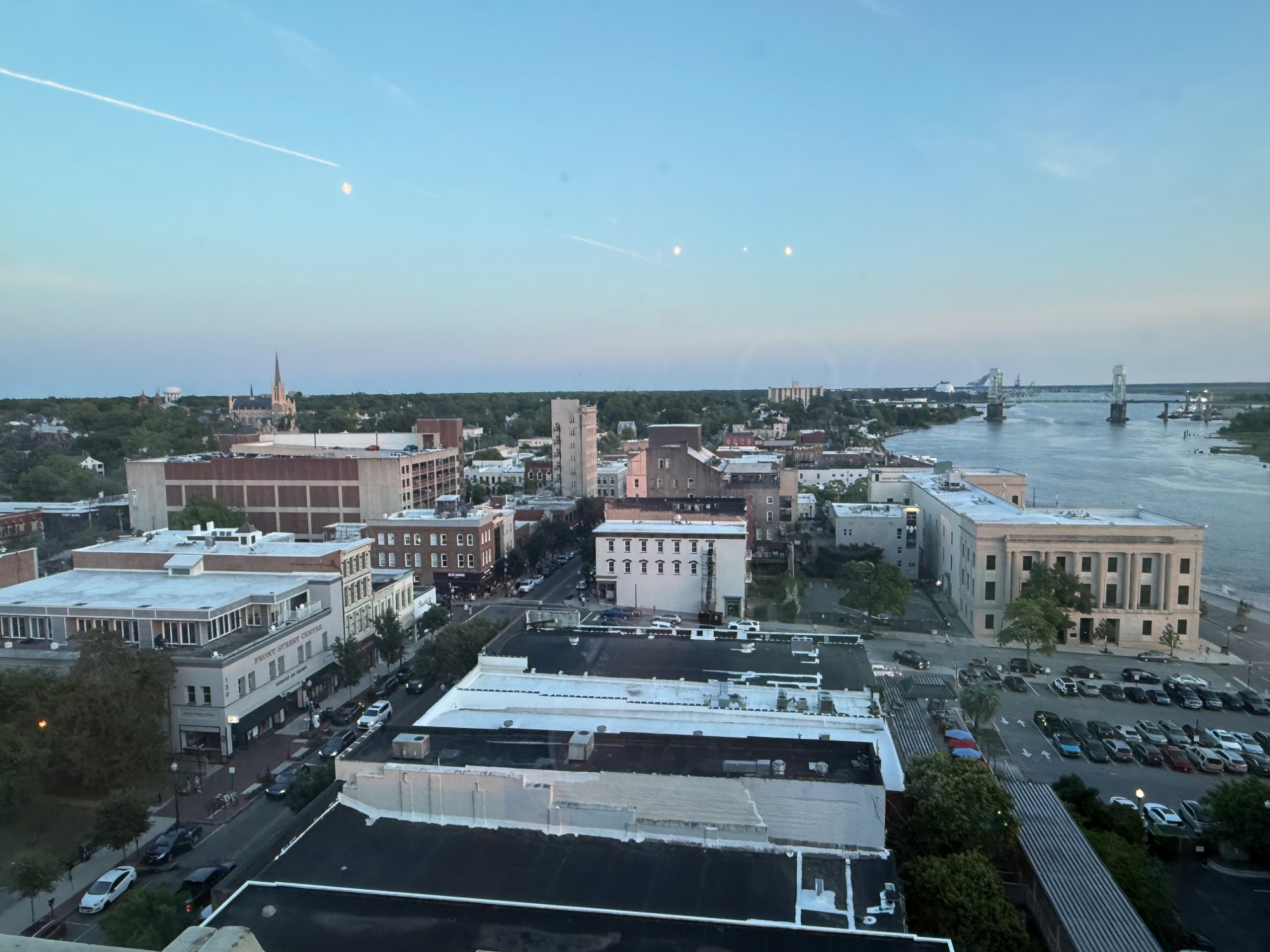
Wilmington sits between a river and the sea. That geography is why we watch the tropics — and why we live here anyway.
The short version
If a hurricane is forecast to affect Wilmington, do these seven things in this order:
Look up your evacuation zone with North Carolina's Know Your Zone address lookup — before you need it.
Sign up for county alerts. Text READYNHC to 24639 (Spanish: LISTONHC to 24639).
Fill your gas tank and refill prescriptions at 72 hours out, before lines form.
Get cash, water, batteries, and non-perishable food for at least 5–7 days per person.
Clear your yard of anything that can become a projectile, and photograph every room of your house for insurance.
Decide early whether you are leaving. If you're leaving, go well before the wind arrives — bridges close and emergency response is suspended once winds become unsafe for crews.
Watch for the evacuation order for your specific zone. Zones do not all evacuate at once.
What to expect afterward, based on Wilmington's actual record: a fast-moving Category 1 like Isaias in 2020 saw the large majority of New Hanover County's power restored within about two days. A slow, flood-driven storm like Florence in 2018 took more than ten days for full restoration of electrical service in this county, and left schools closed for 15 instructional days. The difference is rarely wind speed. It is whether floodwater and blocked roads keep crews from reaching the damage.
First, some perspective on the risk
Wilmington sits where the Cape Fear River meets the Atlantic, and that geography is the whole story — it is why the light here is what it is, and it is why we watch the tropics from June through November.
The honest historical picture, from the National Weather Service office right here in Wilmington: of the 20 strongest storms recorded in Wilmington since 1871, ranked by barometric pressure, 11 were tropical systems (NWS Wilmington). The other nine were nor'easters and severe-weather outbreaks. That sounds alarming until you look at the rest of the record.
In the 72 years since Hurricane Hazel in 1954, two Category 3-or-stronger hurricanes have made landfall at or immediately beside New Hanover County: Donna in September 1960, which came ashore near Topsail Beach in Pender County, and Fran in September 1996, which crossed Bald Head Island in Brunswick County. Neither made landfall inside New Hanover County itself. Hazel remains the only Category 4 to strike North Carolina in the entire twentieth century (NC Dept. of Natural & Cultural Resources). Most of what we actually get are Category 1s, tropical storms, and — increasingly, and importantly — rain events that were never a hurricane at all.
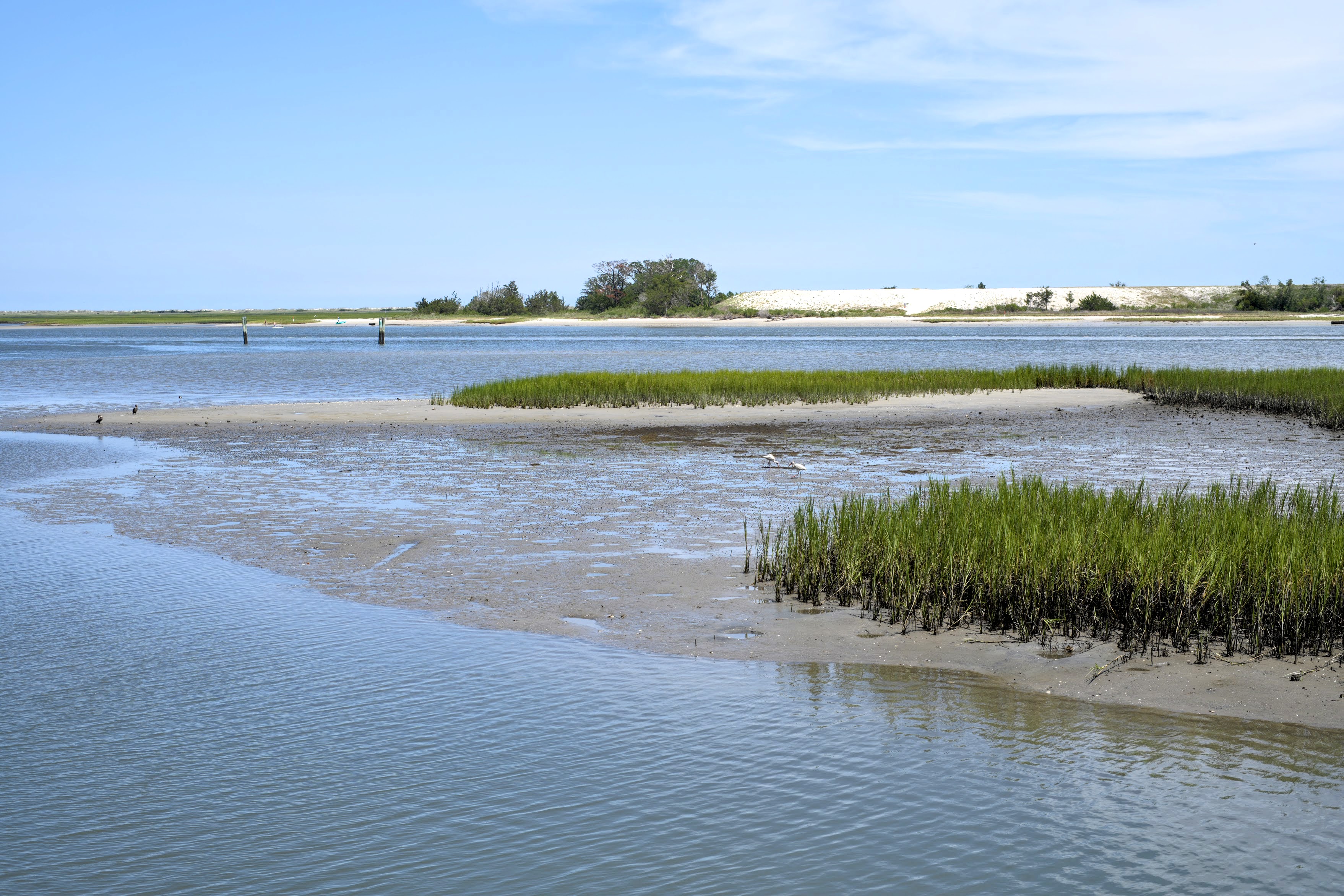
The marsh is the region's shock absorber — and the reason surge zones are drawn where they are.
That last category deserves your attention more than the Saffir-Simpson scale does. In September 2024, an unnamed system officially called Potential Tropical Cyclone Eight dropped a storm total of 20.81 inches of rain on Carolina Beach — most of it inside a single 12-hour window — while Wilmington International Airport, about 15 miles away, recorded only 4.16 inches (NWS Wilmington). It washed out sections of US 17, NC 133, NC 211 and US 421, and it never earned a name.
The practical lesson for a new resident: watch the rainfall forecast at least as closely as the category. Wilmington's worst modern damage has come from water, not wind.
As for this season — NOAA's 2026 outlook calls for a below-normal Atlantic hurricane season (NOAA), and as of mid-August 2026 no tropical system has affected the Cape Fear region. That is genuinely good news. It is also not a reason to skip preparation. Seasonal forecasts describe how many storms form across the whole basin. They say nothing about whether one finds you.
Know your zone — do this today, not during a storm
New Hanover County does not run its own lettered evacuation zones. It participates in North Carolina's statewide Know Your Zone program, which divides 21 coastal counties into zones A through E based on storm-surge flooding risk.
Look up your address: NCEM Know Your Zone lookup tool
Program details: NCDPS Know Your Zone
County evacuation page: nhcgov.com/2837
Zone A is typically evacuated first, then B, and so on. Not every county uses all five letters.
One important nuance that trips people up: there is no published rule that says "Category 2 means Zone A goes." New Hanover County states plainly that Know Your Zone is one of several tools officials use, alongside inland flood risk and other projected impacts. NCDPS confirms that local officials hold the authority to order evacuations. So the zone tells you where you fall in the order — not when. Watch for the actual order, issued by the county.
Write your zone letter on the inside of a kitchen cabinet door. During a storm, everyone forgets it.
Sign up for the alerts that matter
Wireless Emergency Alerts reach your phone automatically. Everything else you opt into.
ReadyNHC Alerts (county emergency alerts) — text READYNHC to 24639, Spanish LISTONHC to 24639, or use the full portal
County storm information hub — emergency.nhcgov.com, the page the county activates during an event
National Weather Service Wilmington — weather.gov/ilm, your single most reliable forecast source
NHCS school closures — SchoolMessenger; set your preferences through the district at nhcs.net
Duke Energy outage alerts — text REG to 57801 to register
Road closures — drivenc.gov or dial 511
A word on social media during a storm: local rumor spreads faster than facts, and screenshots of old flooding get recirculated every single event. The NWS Wilmington office and the county's alert system are the two feeds worth trusting.
The preparation timeline
Hurricanes come with more warning than almost any other disaster. Use it. This is roughly how the days should unfold.
Now — before anything is in the forecast
These are the things that are miserable to do under pressure and easy to do on a quiet Saturday.
Look up your evacuation zone and your flood zone. If you own, your insurance agent or the county GIS can tell you.
Get your barrier-island re-entry decal if you live on one. This is the single most commonly missed item, and it has hard deadlines (see the re-entry section below).
Photograph or video every room in your house, including inside closets and cabinets, plus the exterior from all four sides. Store it in the cloud, not on your phone alone. This is what makes an insurance claim go smoothly.
Scan your documents — deed, insurance policies (all of them), mortgage statement, birth certificates, passports, vehicle titles, medical records, pet vaccination records. One encrypted cloud folder.
Read your insurance declarations page, specifically for the hurricane or named-storm deductible and whether you carry flood coverage. Most people discover both at the worst possible moment. There is a full section on this below.
Register for the Access & Functional Needs Registry if you or someone in your household has a disability, mobility limitation, or medical equipment that requires power. It is voluntary and confidential. Trained volunteers call every person on the registry 36 to 72 hours before an expected event. Register here or call 910-798-6900.
Trim trees. Wilmington is a canopy city — live oaks, water oaks, longleaf and loblolly pines. That canopy is one of the loveliest things about living here and it is also what takes down the power lines. A certified arborist in February is far cheaper than a crane in September.

The canopy is one of the best things about living here. It is also what comes down on the power lines. Prune in February, not September.
7 days out — a system is being watched
Nothing is certain yet. This is the "quietly get ahead" phase.
Start watching NWS Wilmington rather than national coverage. Local offices give you local detail.
Check your supplies against the kit list below and buy what's missing while shelves are full.
If you have a generator, test-start it and check the oil. If you don't, understand that this is not the week to buy one — they sell out regionally within hours of a cone appearing.
Refill prescriptions if you're within the window.
5 days out — Wilmington is in the cone
Being in the cone is not a prediction that the storm will hit you — and being outside it is not a promise that you're fine. The cone shows the probable track of the storm's center only. It says nothing about the size of the storm, and damaging wind, rain, surge and tornadoes routinely extend far outside it. Treat the cone as "pay attention," not "it's coming here."
Decide, in principle, whether you would evacuate. Having the answer ready removes the worst part of the next few days.
If you'd be leaving, look at where you'd go and book something refundable now.
Confirm your zone. Confirm your out-of-town contact — one person, out of the region, whom every family member checks in with.
3 days out (72 hours)
This is the real starting gun, and the point at which acting early makes the biggest difference to your week.
Fill every gas tank. There is no official state or county fuel-availability tracker; GasBuddy activates a private one during events, and local stations run dry in a predictable pattern from the coast inward.
Get cash. Card readers fail when networks and power do.
Refill all prescriptions. If you're not due for a refill, call your pharmacy and ask what your options are — do this now, not when the pharmacy has a line out the door.
Do laundry, run the dishwasher, charge everything — power banks, laptops, tool batteries, the vacuum.
Fill propane tanks.
Get pet supplies: food, medication, carrier, and printed vaccination records.
Buy the food you'd actually eat cold, not the survivalist food you'd resent.
2 days out (48 hours)
Clear the yard completely. Patio furniture, grills, planters, umbrellas, trash cans, bird feeders, kids' toys, doormats, decorative flags. In sustained wind, all of it becomes a projectile, and most broken windows in a Category 1 are caused by someone else's yard.
Trim what obviously needs trimming and get the debris out of the right-of-way — piles left curbside will blow into the street or block a storm drain.
Clean gutters and clear storm drains near your house. In Wilmington's flat, sandy topography, a clogged drain is the difference between a wet yard and a wet living room.
Fill bathtubs and containers with water for flushing toilets and washing. Fill spare jugs with drinking water.
Turn your refrigerator and freezer to the coldest setting and freeze water bottles to fill air gaps. A full freezer holds temperature about twice as long as a half-empty one — roughly 48 hours versus 24.
Put a coin on top of a frozen cup of water in the freezer. If you evacuate and come back to find the coin at the bottom, your food thawed and refroze — throw it out.
If you have hurricane shutters or plywood, install them now. Official guidance is shutters or 5/8-inch plywood — not tape. Taping windows does not prevent them from breaking, and it can produce larger, more dangerous shards.
Photograph your yard and exterior one more time, timestamped, showing pre-storm condition.
Move valuables, documents and electronics to an upper floor or at minimum off the ground.
36 hours — hurricane watch territory
A hurricane watch means hurricane conditions are possible within 48 hours. A hurricane warning means they are expected within 36 hours.
Two things happen at this stage that new residents rarely anticipate:
Insurance binding closes. Most carriers automatically stop writing new or increased coverage once a watch or warning is issued for the area, and the NC Beach Plan closes even earlier — by storm position, often days ahead. You cannot buy coverage into an approaching storm.
Wrightsville Beach stops selling re-entry decals when a hurricane warning is issued. Sales continue during a watch, then stop.
Also at this point: bring in anything left outside, charge everything again, and if you're going, this is a comfortable time to leave.
24–12 hours
Leave now if you're leaving. Traffic builds, and there is a hard stop coming.
Park your car on the highest ground available, away from trees. If you have a garage, use it.
Turn off propane at the tank.
Fill any remaining containers with water.
Set up a single interior room — a hallway, closet, or bathroom with no windows — with pillows, a mattress, water, flashlights, shoes, and helmets if you have them (bike helmets count).
Text your out-of-town contact your plan.
Landfall
Stay inside and away from windows, in your interior room during the worst of it.
Do not go outside during the eye. The calm is real and the wind returns from the opposite direction, often within minutes, and it brings down trees the first half loosened.
Emergency response is suspended once winds become unsafe for crews. New Hanover County's guidance is simply that help may be delayed during and after a storm; local EMS has described ceasing operations when sustained winds exceed roughly 50 mph. Either way, plan on a window of hours when no one is coming if you call, with bridges to the barrier islands already closed. This is the single most important reason to make evacuation decisions early rather than at the last minute.
Use text messages rather than calls — they get through congested networks far better.
What to actually put in the kit
Aim for 5 to 7 days, not the three days you'll see in national guidance. Wilmington's geography — a peninsula between a river and the ocean, reachable by a small number of roads that flood — means resupply can take longer here than the standard advice assumes.
Water: one gallon per person per day. Add extra for pets.
Food: shelf-stable and edible cold. Peanut butter, canned protein, crackers, dried fruit, nuts, tuna packets, shelf-stable milk, instant coffee (you will care about this more than you expect). A manual can opener.
Light: headlamps beat flashlights — hands free. LED lanterns for rooms. Candles are a fire risk in a house with no fire department response; skip them.
Power: two or more large power banks, a car charger, and a battery-powered or hand-crank NOAA weather radio. When cell towers fail, the weather radio still works.
Medical: a full first aid kit, a 7–14 day supply of all prescriptions, over-the-counter basics, and any medical equipment supplies. If anyone depends on powered medical equipment, plan for that specifically — and get on the county registry.
Sanitation: heavy trash bags, wet wipes, hand sanitizer, toilet paper, bleach.
Tools: work gloves, duct tape, a tarp, rope, a utility knife, a wrench for the gas shutoff, and a battery-powered or manual saw. Sturdy closed-toe shoes for everyone in the house — post-storm yards are full of nails and glass.
Documents: a waterproof folder with copies of insurance policies, IDs, deed or lease, and a printed list of phone numbers. Your phone will die. Paper won't.
Cash: small bills.
Comfort: books, cards, a puzzle, kids' activities that don't need a screen. Days three through six are boring in a way people don't warn you about, and boredom does real damage to a household's morale.
For pets: food, water, medication, a carrier, a leash, a litter box if applicable, and printed vaccination records — shelters require them.
Evacuate or stay: how to actually decide
This is the decision people agonize over, and it is simpler than it feels once you separate the three real questions.
1. Are you in an evacuation zone that has been ordered to evacuate? If yes, go. That is the whole analysis. Surge is the deadliest part of a hurricane and it is not survivable by being careful.
2. Are you in a flood-prone area, even outside a surge zone? Wilmington's most damaging recent events have been rainfall events. If your street floods in an ordinary summer thunderstorm, it will flood worse in a tropical system. Freshwater flooding is what makes people need rescue here — during Florence, roughly 350 water rescues were performed in the Wrightsboro and Ogden communities of New Hanover County alone, and 5,214 across the state.
3. Can your household tolerate a week without power? This is the question that decides most non-mandatory evacuations, and it is a legitimate reason to leave. Consider it seriously if you have an infant, someone medically fragile, someone dependent on powered equipment, someone with a heat-sensitive condition, or a pet that can't handle a warm house. September in Wilmington is hot and humid, and there is no air conditioning after the power goes.
If you evacuate: go inland rather than up or down the coast, tell someone your route and destination, take your documents and medications, take photos of the house on the way out, turn off water at the main if you'll be gone a while, and do not come back until officials say the roads and your area are open.
If you stay: you are committing to being self-sufficient for at least several days, including through a window of hours when no one will come if you call. That is a reasonable choice for a well-prepared household outside a flood zone. It is not a reasonable choice for someone in Zone A during a surge event.
Shelters are a genuine safety net and the county is clear about what they are: places that "should only be considered as a last resort," with very basic provisions. They are announced only when the Emergency Operations Center activates, they do not all open at the same time, and the county publishes pre-designated planning locations (including Blair, Codington and Eaton elementary schools, Johnson Pre-K, and Trask Middle) without guaranteeing which will open. At least one shelter is designated a pet co-location shelter — cats and dogs only, owners must stay at the shelter with them, pets are housed separately, and you must bring vaccination records and 5–7 days of pet food. Which shelter that is is not published in advance. Shelter details · NHC Animal Services 910-798-7500.
Barrier island re-entry decals — the deadline nobody mentions
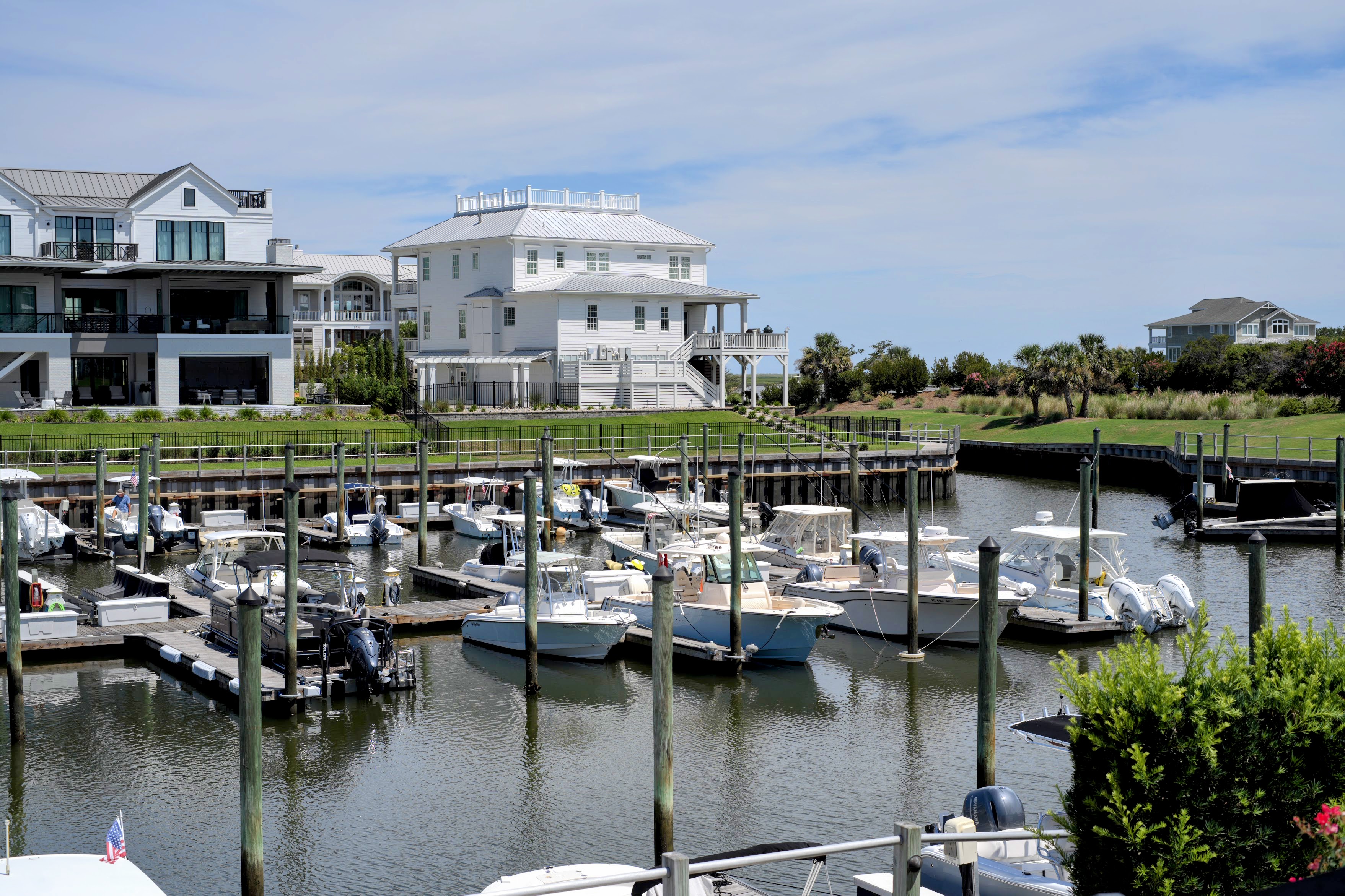
If you live on one of the islands, the decal on your windshield is what gets you back across the bridge.
If you live on or own property at Wrightsville Beach, Carolina Beach, or Kure Beach, you need a re-entry decal before a storm, not after. Without one you may be able to get a temporary permit at an off-island checkpoint with documentation, but you will be doing it in a line, in the aftermath, while everyone else does the same.
Wrightsville Beach — the town vehicle tax decal doubles as re-entry ID, issued by Pivot Parking at 321 Causeway Dr., (910) 256-5453. Critically: sales continue during a hurricane watch but stop when a hurricane warning is issued. Caretaker, marina, commercial and contractor passes are available from the Police Department front desk starting April 1 each year, valid for that calendar year. Town Hall 910-256-7900. Details
Carolina Beach — decals are free January 1 through March 31 and $20 after March 31. Vehicle-specific and non-transferable. Town Hall 910-458-2999. Details
Kure Beach — the town mails two decals to each property owner in January or early February, to the address on the utility bill, and the color changes annually. Extras are $20 each, sold through midsummer. Renters get one from the owner. The decal is required whenever bridge access is restricted. Some older pages on the town site still show outdated pricing, so call Town Hall at 910-458-8216 to confirm rather than relying on the website. Decal page
How schools are handled
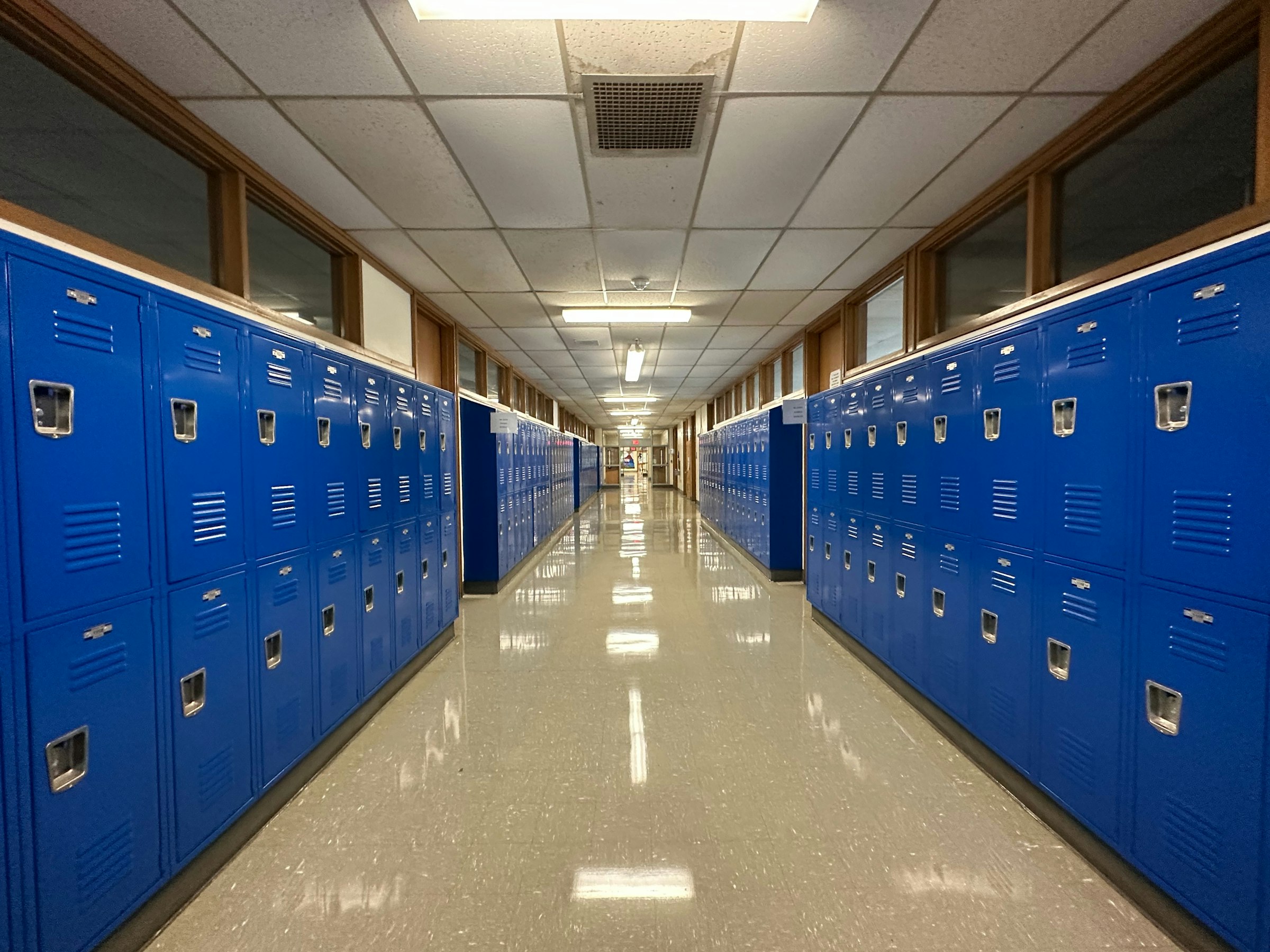
This is the section that generates the most questions from families new to the area, and the answers are more reassuring than most people expect.
How New Hanover County Schools decides and announces
NHCS aims to make a call by 11:00 p.m. the night before and to announce closings or delays by 5:30 a.m. The superintendent decides after regional conference calls that include the National Weather Service, the New Hanover County Sheriff's Office, Wilmington Police, and NC Highway Patrol, plus district transportation staff who physically drive the roads.
The district's inclement-weather plan lists three options: keep schools closed, open two hours late, or close two hours early.
A two-hour delay does not extend the day — dismissal is at the normal time, and morning field trips are canceled.
An early release is announced by 10:30 a.m. when possible, with elementary schools closing at noon and middle and high schools at 1:00 p.m.
When school is closed, all athletics and extracurriculars are canceled.
In practice the district has added a fourth option the printed plan doesn't mention — a full remote instructional day, which is what it ultimately used for Helene on September 27, 2024.
Notifications go out through SchoolMessenger by text, email and phone — urgent messages come as a phone call — plus the nhcs.net homepage and local TV and radio. Set your contact preferences at the start of the year, not the week of a storm. District office: (910) 254-4200. (NHCS inclement weather)
One caution: the district's posted inclement-weather PDFs are dated and still reference an old notification vendor and a TV station that hasn't existed since 2013. Trust SchoolMessenger and the district's live announcements.
For how the district itself is structured, see our Wilmington-Area Public Schools guide.
For a real hurricane, expect closures measured in days — occasionally weeks
Here is the actual New Hanover County record:
Florence (2018) — 15 instructional days lost. Students were out September 11 through October 4; staff returned October 2.
Dorian (2019) — 2 days, September 5 and 6.
Ian (2022) — districts shifted to remote learning rather than closing.
Helene (2024) — an initially announced 2-hour delay, upgraded to a full remote instructional day on September 27.
Florence is the outlier and the worst case, and even Florence returned students to classrooms in just over three weeks.
Are storm days made up? Usually — and here is how
North Carolina law (G.S. 115C-84.2) requires a school calendar to include at least 185 days or 1,025 hours of instruction, and it requires every district's calendar to include a plan for making up days lost to inclement weather.
NHCS's stated approach: "We make it up on workdays, spring break, vacation, Saturdays or extend the school year."
What that looked like after Florence, as adopted by the Board of Education in November 2018: four teacher-development half-days converted to full instructional days, the Monday after Easter and the Friday before winter break converted to full days, and ten minutes added to the beginning and end of every school day starting December 1, 2018. After Dorian, the district used January 2 and 3, 2020 for traditional-calendar schools.
The exception worth knowing: after Florence, the General Assembly passed the Hurricane Florence Emergency Response Act, which allowed districts in the federal disaster area to deem up to 20 instructional days as completed rather than making them up. NHCS chose to make days up anyway. So the honest answer is that storm days are normally made up, but the legislature can waive them after a major disaster declaration.
If you're reading the district calendar looking for makeup days, you won't find them labeled. Look instead for "Undesignated Teacher Workdays" — those are the days conventionally converted.
North Carolina also allows remote instruction days to count toward calendar requirements in emergencies, capped at 5 days or 30 hours for most districts (G.S. 115C-84.3).
How absences actually work — the part worth reading carefully
If the district closes school, that day is not an instructional day, and no absence is recorded for anyone. Nobody is penalized for a district closure. This is the answer for the great majority of storm situations.
The situation that catches families out is different: school is open, and you are not back yet.
North Carolina's lawful absence categories (G.S. 115C-378 and NHCS Policy 8212) are specific: illness or injury, quarantine ordered by health officials, death in the immediate family, medical or dental appointments, court proceedings, religious observances, pre-approved educational opportunities, military deployment-related absences, and care for the student's own child.
"We evacuated and couldn't get back" is not on that list. By the policy's own definition, an absence for a reason not listed is unlawful — which in plain language means unexcused.
The district's own guidance points to the practical path: "Parents may decide to keep their children home. Parents need to contact their children's schools to determine if the absence will be excused."
So: call your school, and call early — ideally before you leave, not after you're back. Excusal is at the principal's discretion. Principals in a coastal county understand hurricanes, and this is very rarely a problem for a family that communicates. It becomes a problem for families who assume it's automatic and say nothing.
After a major storm, schools do more than teach
Following significant storms, districts and state agencies can stand up alternative feeding sites and access USDA meal flexibilities for students in disaster areas. NHCS does not publish a standing post-storm feeding plan, so watch district announcements. School buildings also frequently serve as the county's shelter locations, which is part of why they reopen on a slightly different timeline than you might expect.
Also worth knowing: UNCW and Cape Fear Community College run their own closure decisions and their own timelines. After Florence, CFCC and UNCW both resumed classes October 8 — four days after K–12 students returned.
What to expect during the storm
Wind. For most Wilmington storms this means hours, not days, of the worst of it — though Florence was an exception, sitting over the region for two days. Expect the power to go out early and to go out before the strongest winds, because a single tree limb on a distribution line takes out a whole street.
Rain, in quantities that are hard to picture. Florence dropped 23.02 inches at Wilmington International Airport — an all-time record — with 30.10 inches measured just south of the city. Floyd in 1999 dropped 19.06 inches on Wilmington, which the NWS characterized as falling between a 200- and 500-year rainfall event. This is the hazard that makes Wilmington storms serious.
Tornadoes. Embedded tornadoes in the outer rainbands are common and give almost no warning. Dorian spawned four in New Hanover County in a single morning in 2019; Isaias produced six in the NWS Wilmington area. This is why the interior room matters even in a "weak" storm.
Surge and river flooding. The Cape Fear River gauge downtown reached 8.28 feet during Florence and a record 9.03 feet during Isaias. Matthew in 2016 pushed the river at Wilmington to the highest level in its recorded history. River flooding also arrives late — the Northeast Cape Fear River at Burgaw didn't crest until September 19, five days after Florence's landfall.
The sound. Nobody prepares you for this. Sustained hurricane wind is a low, continuous roar that does not let up for hours, punctuated by things hitting the house. It is genuinely unnerving the first time, and it is not, by itself, a sign that anything is wrong.
What to expect after
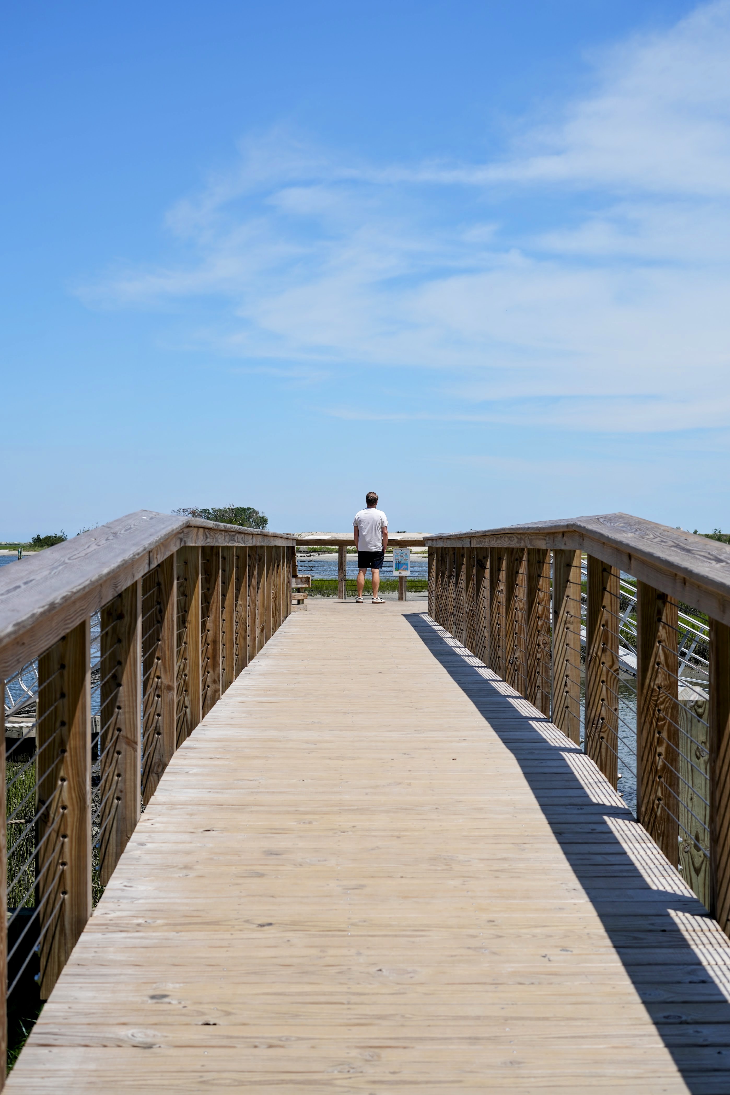
The morning after a storm is often startlingly beautiful. It is also when most injuries happen — downed lines, standing water, chainsaws.
Power
Duke Energy Progress restores in a published priority order: safety hazards first, then critical facilities like hospitals and water treatment plants, then transmission lines, substations, main distribution lines, local lines, and finally individual service lines. This is why your neighbor across the street may have power while you don't — different circuits.
Report an outage: 800-419-6356, or text OUT to 57801. Outage map: outagemap.duke-energy.com
Duke does not reimburse spoiled food or storm losses. That goes to your insurer.
If your meter box, weatherhead or service wiring is damaged, Duke cannot reconnect you until a licensed electrician repairs it and it passes local inspection. This is the most common reason individual homes stay dark days after the utility declares the area restored. If you see damage where the wire attaches to your house, call an electrician immediately — don't wait for Duke.
Observed restoration, from Wilmington's record:
Isaias (2020), a fast Category 1 — roughly 85,000 New Hanover residents lost power at peak, and the large majority were back within about two days.
Florence (2018), slow and flood-driven — more than 48,000 county customers were still out on day five. Duke's published estimate was that most North Carolina and South Carolina customers would be restored by September 26, twelve days after landfall, and the NWS reports that full restoration of electrical service in New Hanover County took over ten days.
These are historical observations, not utility commitments.
Water and sewer
CFPUA maintained service through Florence — it "never had to cut off service" — but it was close, and the mechanism is worth understanding. The risks in a hurricane are pump stations losing power (causing sanitary sewer overflows) and pressure loss (causing precautionary boil water advisories). During Florence a voltage regulator failure discharged 5.25 million gallons of partially-treated wastewater into the Cape Fear River, and the utility nearly ran out of generator fuel because flooded roads kept the tanker from Raleigh out.
CFPUA 24/7 emergency line: 910-332-6565 (sewer spills, major leaks, anything endangering health or property)
Boil water advisory map: cfpua.org/BWA
If a boil water advisory is issued for your area, boil for one minute at a rolling boil, or use bottled water.
Stay out of standing water. After a storm it contains sewage, fuel, fire ant colonies, displaced snakes, and live electrical current.
Debris
Debris collection is run separately by the City of Wilmington (inside city limits), New Hanover County (unincorporated areas only), and each beach town. Rules differ, and after a major storm the normal yard-waste rules are replaced by a contracted storm-debris operation with its own instructions. Watch announcements rather than assuming.
General county guidance for unincorporated areas: stack vegetative debris within five feet of the curb, keep it out of streets and drainage ditches, keep three feet of clearance from hydrants, signs, mailboxes and parked cars, and take household waste and construction debris to the landfill yourself. A burn ban is typically in effect during debris operations. County Environmental Management: (910) 798-4400.
How long it takes, from the record:
Dorian (2019) — no county residential debris pickup at all; the volume didn't warrant it.
Isaias (2020) — collection began about a week after the storm.
Florence (2018) — well over a million cubic yards of debris was collected from public rights of way across the county, and the process took four months. The City of Wilmington alone collected 1.2 million cubic yards of vegetative debris and removed 667 dangerous trees and 14,358 hanging limbs. Countywide, over 3 million cubic yards went through the landfill and became free mulch, which the county was still giving away in June 2019.
Expect multiple passes. Expect it to look worse before it looks better. And expect your street to be one of the last on a list somewhere — that is normal, not neglect.
Roads and getting back
If you evacuated, do not return until officials open your area. Re-entry is staged deliberately, because a road that looks passable can be undermined underneath, and because crews cannot work with traffic in the way.
The Florence experience is the one to understand. Wilmington was cut off by road on Sunday, September 16, 2018 — I-40 and US 17, 74, 76 and 421 all closed by flooding, roughly 120,000 people with no reliable vehicle access. A single limited route reopened around midday Monday, September 17, but state officials were still saying on September 20 that there was "not a safe, stable, or reliable route for the public to get to and from Wilmington." The NWS and the City of Wilmington both describe the county as isolated for several days, and I-40 did not fully reopen across North Carolina until September 24 — ten days after landfall.
Check drivenc.gov before you drive anywhere. And the oldest rule in coastal North Carolina: turn around, don't drown. More people die in vehicles in floodwater than from any other hurricane hazard.
Documenting damage and filing claims
Photograph everything before you move or clean anything, including the water line on walls if you flooded.
Report non-life-threatening damage to the county's Emergency Public Information Center: 910-798-6800.
Call your insurance company as early as you can — adjuster availability is the real bottleneck after a widespread event.
Save every receipt, including hotel, food, tarps, and generator fuel. NFIP policies also cover loss-avoidance measures like sandbags and pumps — keep those receipts too.
Be extremely careful with contractors who appear immediately after a storm. NC DOI maintains a post-disaster scam page. Verify licensing, never pay in full up front, and get it in writing.
If your claim stalls, NC DOI runs a disaster mediation program and a consumer helpline: 855-408-1212.
Insurance: the four things coastal owners wish they'd known sooner
None of what follows is insurance advice — I'm a REALTOR®, not an insurance agent, and your own policy and licensed agent govern. But these four facts change decisions, and most people learn them too late to act on them.
1. Flood insurance has a 30-day waiting period. An NFIP policy purchased today generally takes effect 30 days from now. There are narrow exceptions — no waiting period when the policy is tied to making, increasing, extending or renewing a mortgage, or for coverage changes at renewal; a one-day wait if your property was newly mapped into a high-risk zone and you buy within 12 months. Practically: you cannot buy flood insurance when a storm appears. Buy it in the spring, or at closing. (FloodSmart)
2. Homeowners insurance does not cover flood. NC DOI states it unambiguously: "Homeowners insurance policies do NOT cover flood or rising water damage." The dividing line matters. Your homeowners policy covers wind damage and wind-driven rain. Your flood policy covers water rising from below — surge, runoff, flash flooding at ground level — and explicitly excludes wind-propelled rain and water entering through a wind-damaged roof. After a hurricane most coastal owners file with both insurers and work with two adjusters who apportion the damage. That wind-versus-water allocation is the most common source of coastal claim disputes in the country.
3. Your hurricane deductible is a percentage, not a dollar amount. Named-storm and windstorm/hail deductibles in North Carolina are calculated as a percentage of Coverage A (your dwelling limit) — not of the loss. NC DOI's own example: a 2% deductible on a $300,000 home is $6,000. That's the same $6,000 whether your claim is $12,000 or $400,000. A named-storm deductible is triggered when the NWS issues an advisory, watch or warning for a named storm in North Carolina — including tropical storms and depressions, not just hurricanes. (NC DOI)
4. Coverage stops being available before the storm arrives. The NC Beach Plan (formally the NC Insurance Underwriting Association) has a written rule: no new or increased coverage may be bound after 12:01 a.m. on the day after a named storm's center enters a defined box of the Atlantic and Caribbean — which can be days before any North Carolina watch is issued. Private carriers typically block binding automatically when a tropical storm or hurricane watch or warning is declared. There is no single statewide rule; the pattern is what matters. Decide about coverage in June, not in the cone.
And on cost, honestly: coastal insurance has gotten materially more expensive. The NC Rate Bureau sought a 42.2% average statewide homeowners increase, with beach territories as high as 99.4%. The Insurance Commissioner rejected that as excessive and negotiated a settlement — statewide averages of 7.5% effective June 2025 and another 7.5% effective June 2026, with a cap of 35% in any single territory and no further base increases before June 2027. Port City Daily reported that for beach areas of New Hanover, Brunswick and Pender counties, the settled figures were 16% in 2025 and 15.9% in 2026, which Port City Daily described as 31.9% over two years; compounded, the actual two-year increase is closer to 34.5%. A separate settlement announced in April 2026 set dwelling (non-owner-occupied) rates at 5% per year effective October 2026 and October 2027, with mitigation credits for fortified roofs in many eastern NC territories.
If you're buying here, get an insurance quote before your due diligence period ends, not after. It is one of the most consequential numbers in a coastal purchase and it is no longer safe to estimate.
How long does recovery actually take?
The most useful thing I can tell you is that recovery happens on several different clocks at once, and confusing them is what makes people feel like nothing is happening. These are historical ranges from past Cape Fear storms, not predictions.
Emergency services resume — once winds drop below the threshold that is unsafe for crews, hours after the worst passes
Roads locally passable — 1 to 3 days for most streets; longer where washouts occurred
Power restored — about 2 days for a fast Category 1; over ten days for a Florence-scale event
Water and sewer normal, boil advisories lifted — days
Schools reopen — 2 days for a moderate storm; 15 instructional days after Florence
Grocery, gas and pharmacy back to normal — 1 to 2 weeks
Debris fully collected — a couple of weeks for a moderate storm; 4 months after Florence
Roof and repair contractors caught up — months
Major structural rebuilds — 1 to 3 years
The very hardest cases — longer. Much longer.
That last item deserves honesty rather than a dash. North Carolina's ReBuild NC housing recovery program, created after Matthew and Florence, ran out of money in December 2024 and paused new construction. As of early 2025, over 500 families were still awaiting reconstruction and roughly 500 more were living in temporary housing waiting for construction to finish. One downtown Wilmington family who applied in summer 2020 waited three years for rehabilitation approval and six more months for rebuild approval, and still had not broken ground in February 2025 — more than six years after the storm. A Wilmington public housing building at Jervay stood boarded up nearly four years after Florence displaced more than 2,000 public housing residents citywide.
That is the real tail of a catastrophic storm, and it is worth knowing. It is also worth knowing that it describes the small minority of the most severely damaged, lowest-resource households — not the ordinary experience of a prepared homeowner with insurance in force, whose storm story is measured in days and weeks.
How Wilmington has recovered before
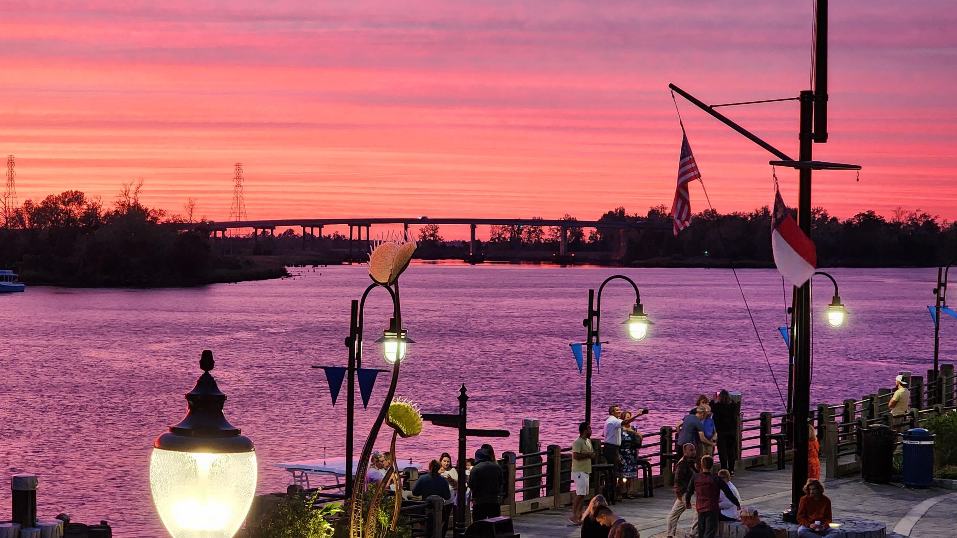
Every storm below happened to this exact view. It is still here.
This is the part that actually settles people down, so I want to give it real space.
Hurricane Hazel — October 15, 1954. The benchmark. A Category 4 at landfall near the North Carolina–South Carolina line, which the state's history office places at Long Beach, now Oak Island. A 17-foot surge arrived on a full-moon high tide and swept away 352 of the 357 structures on the island. Nineteen deaths in North Carolina; $136 million in 1954 dollars. NC's Department of Natural and Cultural Resources calls it "the greatest coastal inundation in North Carolina's recorded history." It is still the only Category 4 to hit this state in the twentieth century. Every one of those barrier island communities exists today.
Bertha and Fran — 1996, eight weeks apart. Bertha came ashore at Figure Eight Island as a Category 2 on July 12. Then Fran crossed Bald Head Island and Southport as a Category 3 on the evening of September 5, with the second-lowest barometric pressure ever recorded in Wilmington and a 12-foot storm tide from Carolina Beach through Wrightsville Beach. In Wilmington, 75% of homes sustained some damage and 24% sustained major damage. A million and a half people lost power region-wide. Two direct hits in a single summer, and the city was whole again.
Hurricane Floyd — September 16, 1999. Landfall near Cape Fear as a Category 2, with the lowest barometric pressure ever measured in Wilmington and 19.06 inches of rain in the city — between a 200- and 500-year rainfall event. Winds hit 138 mph eight stories up at Wrightsville Beach and 120 mph at the county Emergency Operations Center. Floyd was the storm that taught eastern North Carolina that the catastrophe is freshwater, not wind — though the worst of that flooding was inland, in Tarboro and Princeville and Rocky Mount, not here.
Hurricane Matthew — October 8, 2016. Never made landfall in North Carolina; ran up the coast as a Category 1 and still pushed the Cape Fear River at Wilmington to the highest level in its recorded history. Wilmington saw a 70 mph gust. Over 814,000 outages statewide at peak. The NWS, citing the National Hurricane Center, attributes 25 deaths in North Carolina directly to Matthew, and puts NC flood damage at roughly $1.5 billion. A storm that never came ashore here, and still set the river record.
Hurricane Florence — September 14, 2018. The eye crossed Wrightsville Beach at 7:15 a.m. as a Category 1 — and Florence is the reason category alone is a bad measure. It sat over the region for two days. Wilmington recorded a 105 mph gust and its all-time rainfall record of 23.02 inches. Over 90% of county residents lost power. Forty-two North Carolinians died. The state suffered somewhere between $16.7 and $22 billion in losses and 74,563 structures flooded. Wilmington was effectively isolated by road for several days.
And then: full electrical restoration in a bit over ten days. Students in classrooms in three weeks. I-40 open across the state in ten days. Debris — all three million cubic yards of it — collected within four months and turned into mulch the county gave away for free. FEMA approved nearly $134 million in individual assistance across 34,713 applications, and over $767 million in public assistance.
Here is the part that genuinely surprises people. By April 2019, seven months after the worst storm in the city's recorded history, Cape Fear Realtors reported that average sale prices across the tri-county area were up 6.7% year over year and median days on market had dropped from 26 to 22. Sales volume was down about 12%, and Realtors attributed that to a lack of inventory rather than to the hurricane — describing demand as "the strongest we have seen in 13 years."
Isaias — August 2020. A fast Category 1 at Ocean Isle Beach. A 99 mph gust at Federal Point, the highest river level ever recorded at the downtown gauge, six tornadoes, and 85,000 New Hanover residents in the dark. Most were back within about two days. Debris collection started about a week later.
Potential Tropical Cyclone Eight — September 2024. Never named. Dropped a storm total of 20.81 inches on Carolina Beach, most of it inside a 12-hour window — rainfall the NWS characterized as approaching once-in-1,000-year territory in places. Washed out four highways and left one key coastal road closed for nearly a year. The storm nobody outside the region has heard of, and the one local emergency managers talk about most.
The pattern across seventy-plus years has been consistent. Wilmington gets hit. Wilmington takes real damage. Utilities and schools have come back on a timeline measured in days to weeks. Debris has taken months. The hardest-hit individual households have taken years, and some are still waiting, which is a genuine failure worth naming. And the city itself — the riverfront, the beaches, the neighborhoods — has rebuilt after every one of them.
That is the historical record, not a forecast. Past storms are not a prediction of how the next one will go, and past market behavior is not a prediction of future property values.
If you're mid-transaction when a storm comes
Briefly, because it comes up every season and it is where I can actually help.
Insurance binding closes early. If you're under contract and haven't bound coverage yet, do it before a watch is issued — not after.
Closings can be delayed by evacuation orders, lender or appraiser unavailability, courthouse and Register of Deeds closures, and utility outages. Talk to your agent and attorney early rather than assuming a date holds.
Re-inspection of a property after a storm event is a reasonable thing to ask for, and the timing of it matters relative to your due diligence period.
North Carolina's Residential Property and Owners' Association Disclosure Statement asks sellers about flooding and drainage issues. If you're selling, answer it accurately. If you're buying, read those answers carefully and ask follow-up questions.
Flood zone and elevation certificate should be part of your diligence on any coastal purchase, not an afterthought.
If a storm is coming and you're in the middle of a transaction, call me at 910-983-8963. That's a normal call to make and I'd rather have it early.
Quick resource directory
Save this. Screenshot it. Print it and put it in the kit.
Emergency — 911 · Non-emergency: 910-452-6120
New Hanover County Emergency Management — 910-798-6900 · nhcgov.com/196
County storm information hub — emergency.nhcgov.com
County alerts signup — text READYNHC to 24639 (Spanish: LISTONHC)
Know Your Zone lookup — NCEM address lookup tool
Shelters — nhcgov.com/2836
Access & Functional Needs Registry — 910-798-6900 · Register
Post-storm damage reporting (EPIC) — 910-798-6800
NWS Wilmington — weather.gov/ilm · 910-762-4289
Duke Energy outages — 800-419-6356 · text OUT to 57801 · outage map
CFPUA water/sewer emergency (24/7) — 910-332-6565 · Main: 910-332-6550 · Boil water map
New Hanover County Schools — 910-254-4200 · nhcs.net
NHC Animal Services — 910-798-7500
County debris / Environmental Management — 910-798-4400
City of Wilmington solid waste — 910-341-7875
Road conditions — drivenc.gov · 511
ReadyNC — readync.gov
NC 211 (help finding local resources) — dial 2-1-1 or 888-892-1162
FEMA disaster assistance — 1-800-621-3362 · disasterassistance.gov
NC Department of Insurance consumer help — 855-408-1212 · ncdoi.gov/consumers/disaster
NFIP / flood insurance — 888-379-9531 · floodsmart.gov
NC Beach Plan (NCIUA) — 800-662-7048 · ncjua-nciua.org
Wrightsville Beach Town Hall — 910-256-7900 · Decals: 910-256-5453
Carolina Beach Town Hall — 910-458-2999
Kure Beach Town Hall — 910-458-8216
UNCW emergency line — 910-962-3991
Cape Fear Community College — 877-799-2322
Frequently asked questions
How much warning do you get before a hurricane hits Wilmington?
Typically five to seven days of awareness that a system may affect the region, three days of meaningful confidence, and 36 to 48 hours of official watches and warnings. A hurricane watch means hurricane conditions are possible within 48 hours; a hurricane warning means they are expected within 36 hours. This is far more warning than most natural disasters provide, which is why preparation rather than reaction is the whole game.
Do I have to evacuate if I live in Wilmington?
Only if officials order an evacuation for your zone. New Hanover County uses North Carolina's Know Your Zone system (Zones A through E, based on storm-surge risk), and zones are evacuated in order rather than all at once. There is no published automatic trigger — county officials weigh surge risk, inland flooding and other projected impacts. Look up your zone with the NCEM address lookup tool before a storm is in the forecast.
How long does the power stay out in Wilmington after a hurricane?
It depends far more on flooding than on wind speed. After Hurricane Isaias in 2020, a fast-moving Category 1, roughly 85,000 New Hanover residents lost power and most were back within about two days. After Hurricane Florence in 2018, the county still had over 48,000 customers out on day five, and the National Weather Service reports that full restoration of electrical service in New Hanover County took over ten days. Plan for five to seven days of self-sufficiency and be pleasantly surprised.
Do New Hanover County students have to make up hurricane days?
Usually. North Carolina law requires school calendars to include at least 185 days or 1,025 hours of instruction and to contain a plan for making up inclement weather days. After Hurricane Florence cost 15 instructional days in 2018, New Hanover County Schools converted four teacher-development half-days and two vacation days into full instructional days and added ten minutes to the start and end of every school day beginning December 1 — even though the General Assembly had passed a law allowing districts in the disaster area to waive up to 20 days. North Carolina also allows up to five remote instruction days to count toward the calendar in emergencies.
Does a hurricane closure count as an absence for my child?
No. If the district closes school, that day is not an instructional day and no absence is recorded. The situation to watch is different: if school has reopened and your family is still away, "we evacuated" is not among North Carolina's lawful absence categories, and excusal is at the principal's discretion. Call the school — ideally before you leave — rather than assuming it is automatic.
Can I buy flood insurance when a hurricane is coming?
No. National Flood Insurance Program policies carry a 30-day waiting period, with narrow exceptions primarily tied to mortgage transactions and newly remapped flood zones. Most private carriers also stop binding new or increased coverage once a tropical storm or hurricane watch is issued, and North Carolina's Beach Plan closes even earlier — by the storm's position in the Atlantic, often days before any NC watch. Buy coverage in the spring or at closing.
Does homeowners insurance cover hurricane damage in North Carolina?
Partially. Homeowners insurance covers wind damage and wind-driven rain, subject to a separate named-storm or windstorm deductible that is calculated as a percentage of your dwelling coverage — not a flat dollar amount. It does not cover flood or rising water. NC DOI states this directly. Flood damage requires a separate NFIP or private flood policy, and after a hurricane most coastal owners file claims with both insurers.
How long did it take Wilmington to recover from Hurricane Florence?
Full restoration of electrical service in New Hanover County took a bit over ten days. I-40 fully reopened across North Carolina ten days after landfall. New Hanover County students returned to school on October 4, 2018 — 15 instructional days and just over three weeks after the storm. Debris collection took approximately four months for well over a million cubic yards countywide. Major structural rebuilds and the state's ReBuild NC housing program stretched on for years, with hundreds of families still waiting as of 2025.
Is Wilmington a bad place to buy a house because of hurricanes?
That is a personal risk judgment, and nothing here is a prediction about property values. What can be said is what the record shows. In the 72 years since Hazel, two Category 3-or-stronger hurricanes have made landfall at or immediately beside New Hanover County. Seven months after Florence, the worst storm in the city's recorded history, average sale prices across the tri-county area were up 6.7% year over year with homes selling in 22 days. What matters most for an individual buyer is the specific property: its flood zone, its elevation, its roof, its drainage, and its insurance quote.
What is the most dangerous part of a hurricane in Wilmington?
Water, in two forms. Storm surge is the deadliest hazard and is the reason evacuation zones exist. Freshwater flooding from rainfall is the more frequent hazard here — Florence required 5,214 water rescues statewide, roughly 350 of them in the Wrightsboro and Ogden communities of New Hanover County, and the unnamed September 2024 system dropped nearly 21 inches on Carolina Beach. More people die in vehicles in floodwater than from any other hurricane cause. Turn around, don't drown.
One last thing
The first storm is the hardest one, always. You don't yet know what the wind sounds like, or how long the power really stays out, or that the grocery store will feel normal again faster than you'd think. After that, you'll find you've quietly developed a routine — you'll know which gas station to hit first, which neighbor has the generator, which friend's inland guest room is open.
That's the part that doesn't make the news. This is a city that has done this over and over for centuries, and the reason people stay isn't stubbornness. It's that the rest of the time, living between the river and the sea is worth it.
If you're new here and want a hand thinking through flood zones, elevation, insurance quotes, or just what a specific street does in heavy rain, I'm glad to help — whether or not you're buying anything.
Tabi Klein, REALTOR® · Coldwell Banker Sea Coast Advantage · 910-983-8963 · www.makingilmhome.com
This guide is provided for general informational purposes and is current as of August 2026. It is not emergency guidance, insurance advice, legal advice, or a substitute for the instructions of New Hanover County Emergency Management, the National Weather Service, or your own insurance and legal professionals. Historical storm and market information describes the past and is not a prediction of future events, property values, or outcomes. Policies, phone numbers, programs and procedures change — always verify with the official sources linked throughout before acting. In an emergency, call 911.
Tabi Klein is a licensed real estate broker in North Carolina affiliated with Coldwell Banker Sea Coast Advantage. Equal Housing Opportunity.
Tabetha Klein
Realtor® · Coldwell Banker Sea Coast Advantage
Tabetha has been helping buyers and sellers in the Wilmington, NC area since 2018. She specializes in relocation, coastal properties, and first-time buyers — and she knows every neighborhood on this list personally.
Learn more about Tabetha